Geography of Upputhara Panchayat
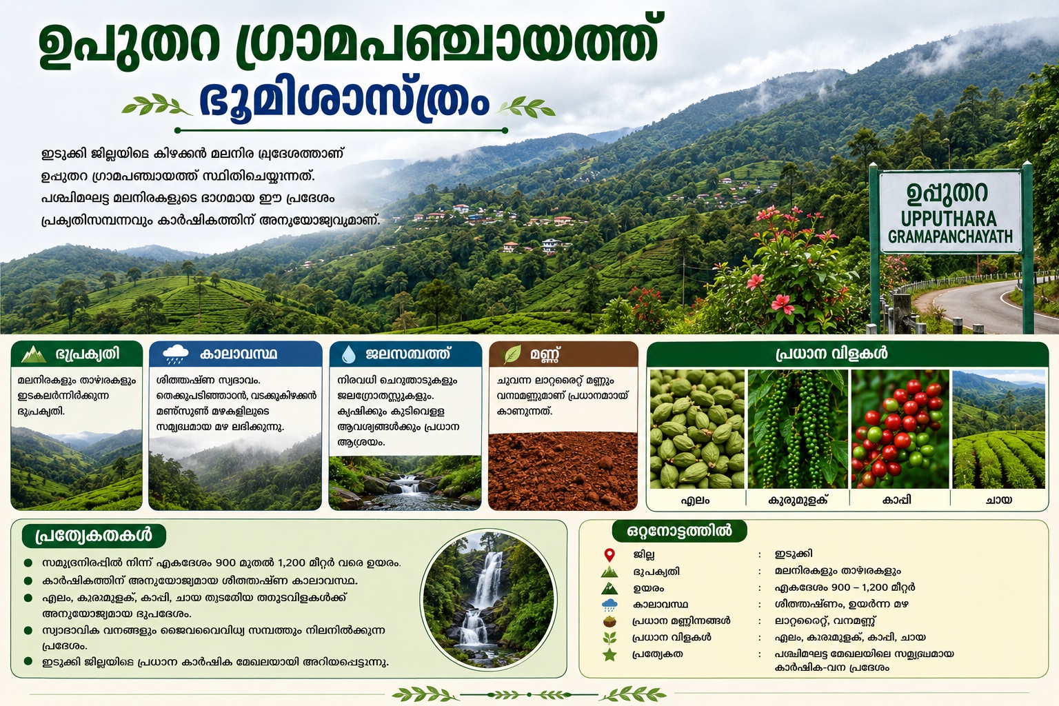
Upputhara Grama Panchayat is situated in the eastern hill ranges of Idukki district, Kerala. As part of the Western Ghats, this region lies at an altitude of approximately 900 to 1,200 meters above sea level and features a terrain characterized by alternating hills and valleys.
The eastern side of Upputhara borders the state of Tamil Nadu. The majority of the panchayat consists of hills and slopes, providing ideal soil and climatic conditions for plantation crops such as cardamom, black pepper, coffee, and tea.
The region enjoys a cool climate and receives abundant rainfall from both the Southwest and Northeast monsoons. Numerous small streams and water sources flow throughout the panchayat, serving as vital sources for agriculture and drinking water.
Red laterite soil and forest soil are predominantly found here. Natural forests and rich biodiversity persist in certain parts of the panchayat. Surrounded by mountain ranges, this scenic region is recognized as a major agricultural zone in Idukki district.
At a Glance
District: Idukki
Terrain: Hills and valleys
Altitude: Approximately 900–1200 meters
Climate: Cool, high rainfall
Major Soil Types: Laterite, forest soil
Major Crops: Cardamom, black pepper, coffee, tea
Special Feature: A rich agricultural and forested region in the Western Ghats range